
EXAIL
78100 SAINT-GERMAIN-EN-LAYE

Exail is a high-tech industrial group specializing in navigation, robotics, and complex autonomous systems. Serving both civilian and defense markets, the group designs, develops, and manufactures equipment and integrated systems engineered to operate in the most demanding environments.
In the defense sector, Exail provides naval forces with advanced navigation solutions and develops integrated systems for mine countermeasures and autonomous maritime surveillance.
In civilian markets, Exail supports the offshore energy, hydrographic surveying, and oceanographic research industries with its navigation and marine robotics solutions.
With more than 2,200 employees and customers in over 80 countries, Exail has end-to-end expertise in critical technologies, from component design to the integration of complete systems.
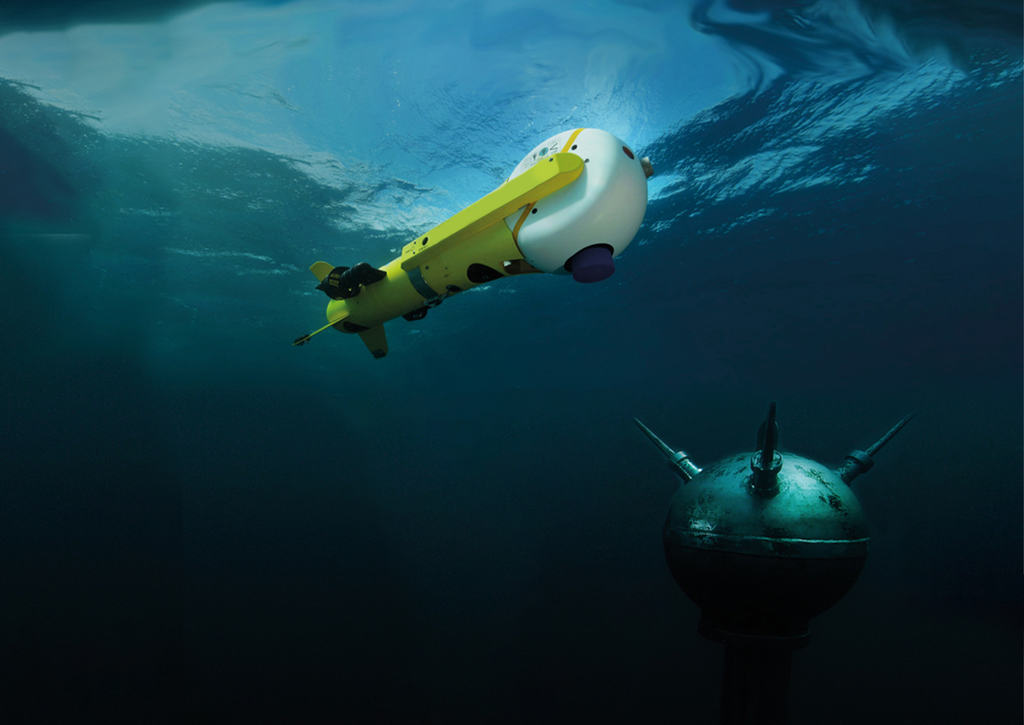
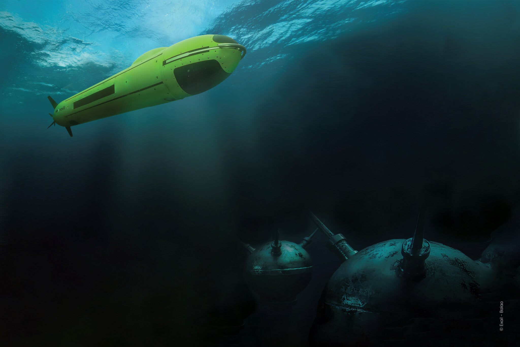
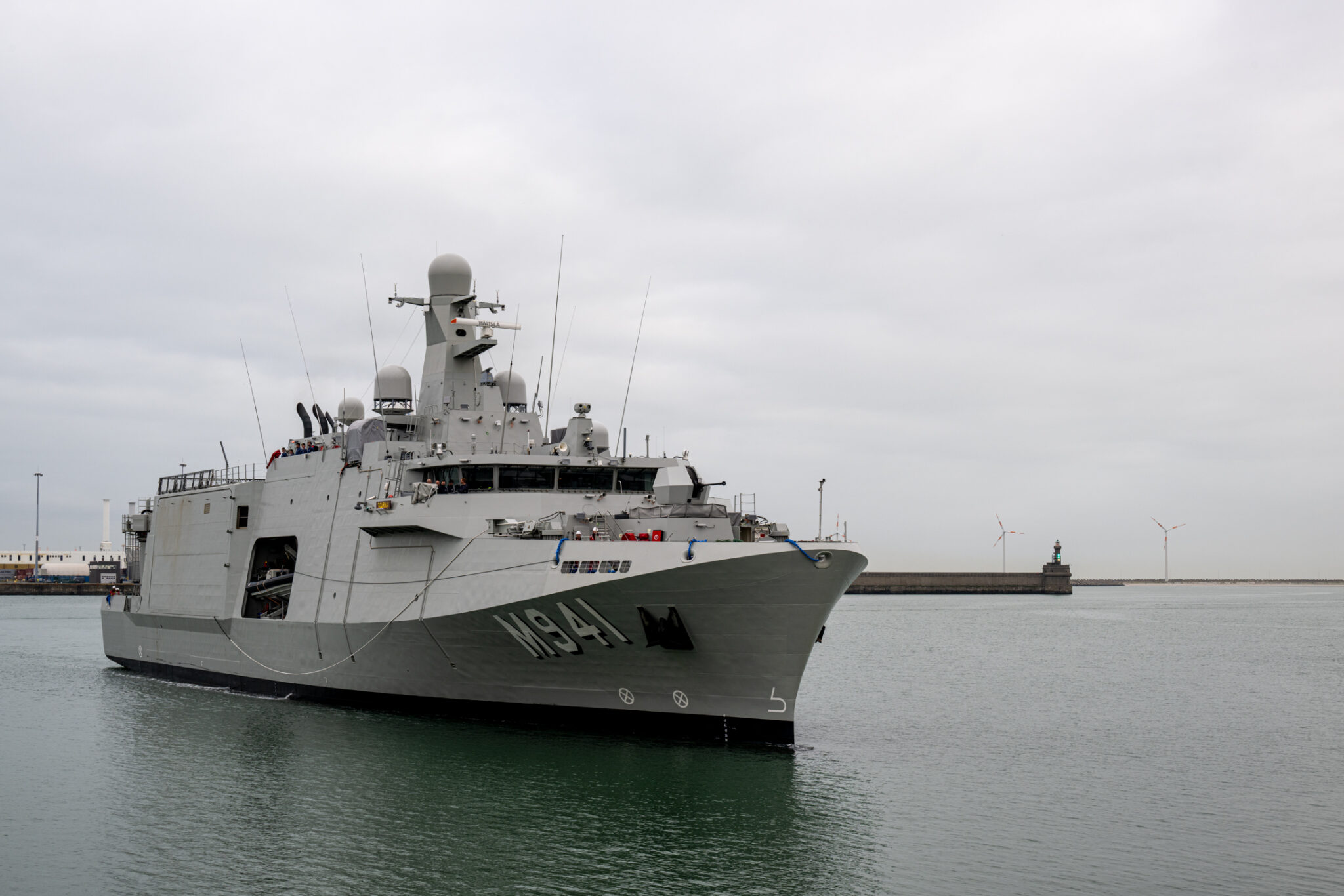
Mine Countermeasures (MCM) : Protecting crews and vessels through an innovative stand-off approach using drones to detect, identify, and neutralize mines remotely.
Resilient navigation: Protect surface vessels against spoofing and jamming threats, power stealthy autonomous navigation of undersea platforms and submarines, or provide warships with unrivalled environmental awareness.
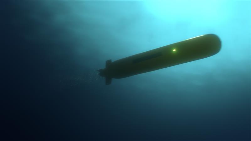
Maritime Autonomy Systems: Facilitating the transition to remotely supervised operations through a comprehensive ecosystem of drones (USVs, AUVs, ROVs) and software to optimize hydrography, subsea infrastructure inspection, and offshore energy missions.
Naval equipment: Varied range of solutions to improve discretion, crew safety, energy efficiency and operator comfort on surface vessels and submarines.
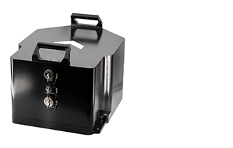
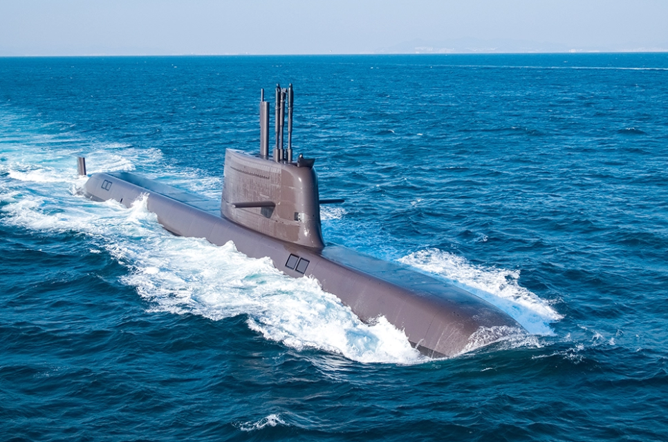
Marins Series enables stealth autonomous navigation for submarines and surface vessels. It provides very accurate heading, roll, pitch, speed and position, included in GNSS-denied environments. Marins Series is based on the Exail Fiber-Optic Gyroscope (FOG) technology and offers six grades of performance. This technology is proven for superior reliability and performance. Exail high-performance Inertial Navigation Systems (INS) are chosen by world leading navies.
• Autonomous navigation without GNSS, up to 1 NM/360h
• Low cost of ownership
• Stealth: no radiated noise during operation
• Easy to set up and to operate
• Full range of INS performances
FOG technology : Exail is globally recognized for its pioneering work in high-performance Fiber Optic Gyroscope (FOG) technology. Gyroscopes are the core sensors of inertial navigation systems (INS), and FOGs, based on the Sagnac effect, deliver highly accurate rotation measurements using light waves in fiber-optic coils. This elegant design leverages the reciprocity of light propagation to achieve exceptional reliability and precision. Today, FOG technology stands as a leading solution for the naval industry.
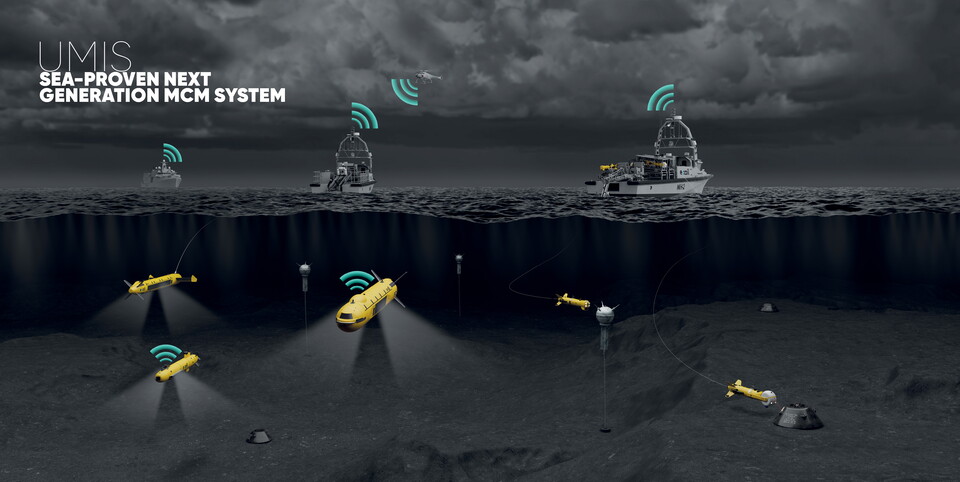
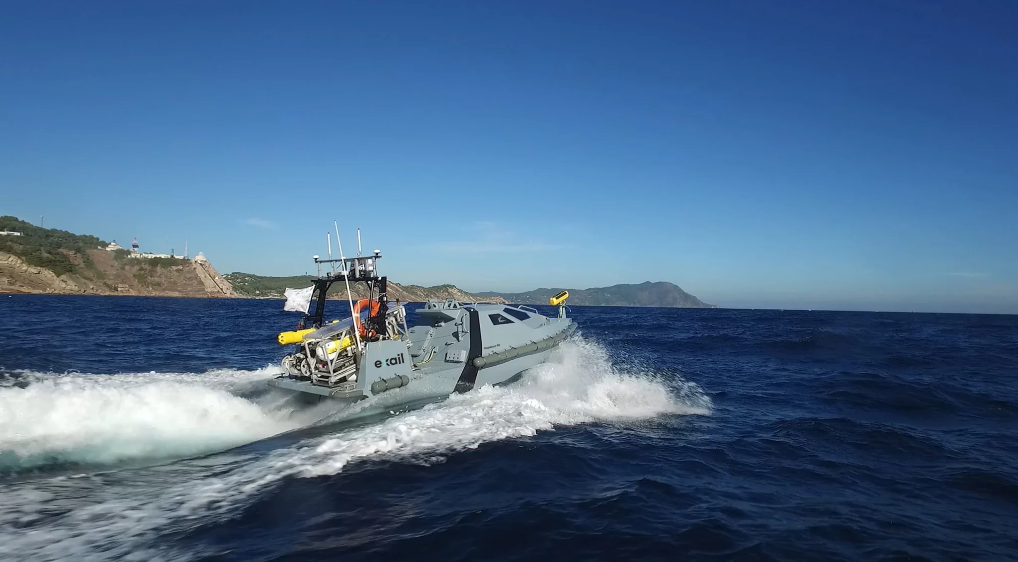
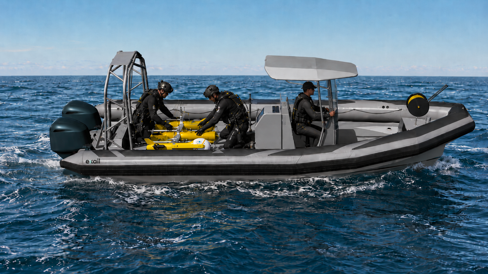
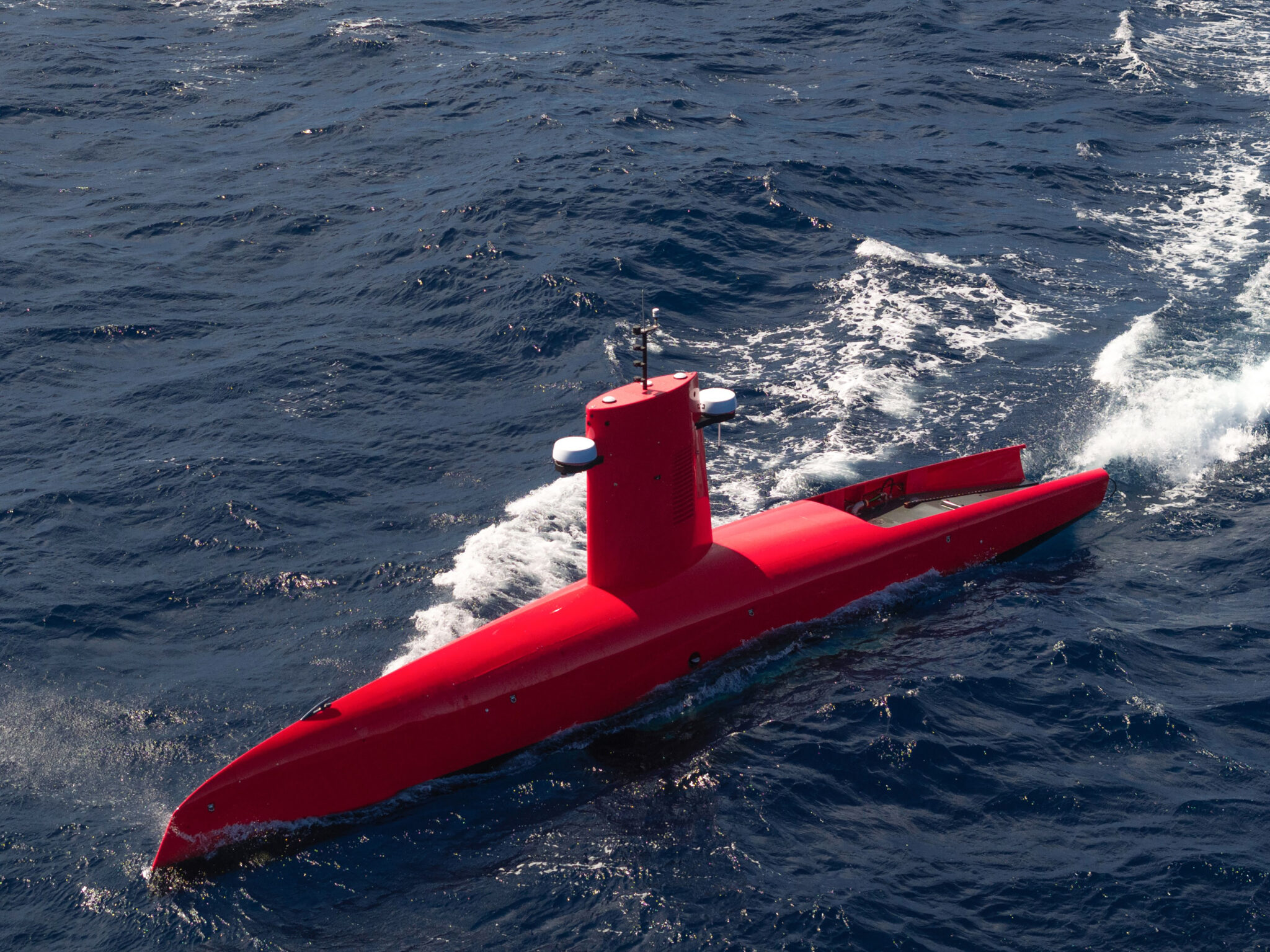
Building on its 60 years of expertise in providing the highest-performance unmanned systems for missions at sea (USV, UUV) and in the air (UAV), Exail offers a complete, safe, fast and cost-effective UAV system for carrying out mine countermeasures missions at sea.
UMIS is a complete UAV system developed by Exail to monitor or secure large or complex offshore and coastal areas. This turnkey, modular solution includes a wide range of unmanned vehicles such as USVs, UUVs (AUVs, ROVs, MIDS), towed systems (sonars, scans) and UAVs. UMIS also integrates a complete UMISOFT software suite enabling simple, comprehensive management of the entire unmanned mission, from preparation, planning and supervision to data acquisition, processing, analysis and management.
.
UMIS is particularly well suited to naval and homeland protection operators engaged in battlefield, investigative or intervention missions at sea.
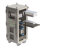
Netans Data Distribution Unit (DDU) is a central component of a vessel’s navigation system.
It collects and validates essential information—position, heading, speed, attitude, bathymetry, currents—and distributes it to onboard operational systems such as radars, combat systems, and navigation software. Designed to operate even in the event of cyberattacks, failures, or disruptions, Netans incorporates anomaly detection, event logging, and redundancy mechanisms. It therefore serves as a trusted link between sensors and operational applications, ensuring continuity and reliability of maritime operations.
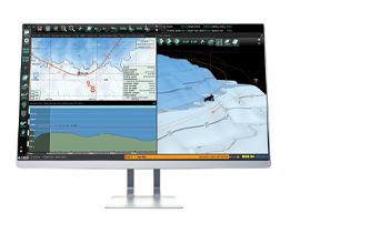
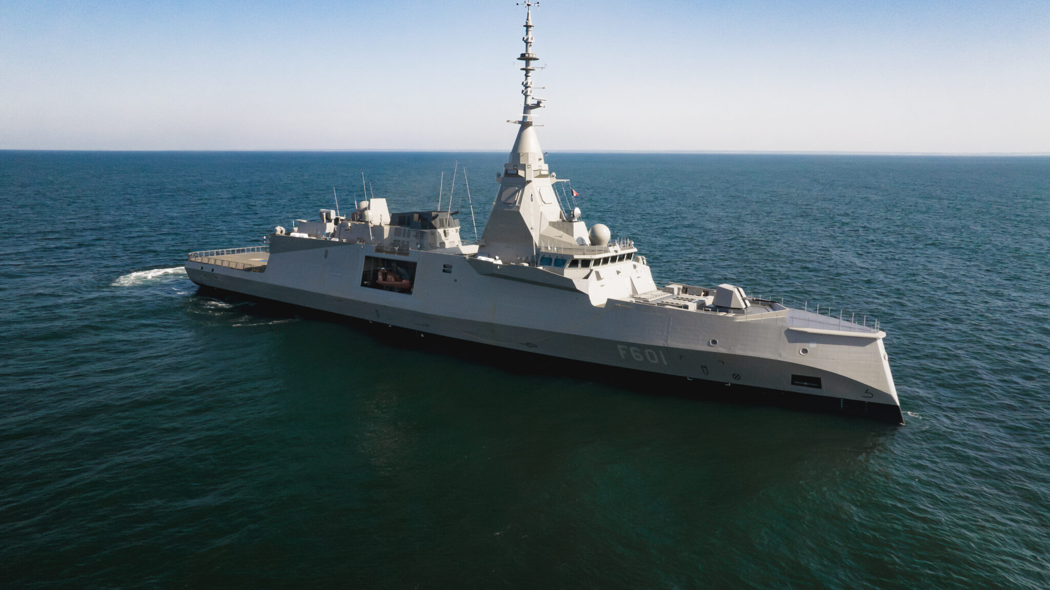
Gecdis-W system is an electronic navigation software (WECDIS, used by military vessels) designed to meet the specific needs of naval forces. It displays on a single screen the vessel’s position, planned routes, areas to avoid, as well as real-time operational information such as the position of allied units and weather and sea conditions.
Compliant with NATO STANAG standards—standards that facilitate cooperation between allied navies—Gecdis-W enables efficient information sharing and optimal coordination during joint missions. By providing crews with a clear and reliable view of their environment, it helps them react quickly and make the right decisions, even in complex maritime conditions.
Aucun média trouvé pour cet adhérent
 Hydrographie / Océanographie
 Matériel de navigation
A world leader in inertial navigation systems, Exail develops critical technologies ensuring precise and resilient navigation, even without GNSS. Its solutions (inertial systems, underwater acoustic positioning, navigation data management, WECDIS software) equip civil and military vessels, submarines, and uncrewed platforms. Exail also designs key naval equipment—including power electronics, command and control, and magnetic signature management—while providing maintenance and modernization throughout their entire lifecycle.
Exail develops cutting-edge technologies in navigation, autonomy, and naval robotics. Its portfolio brings together maritime navigation systems, surface and underwater drones, mine countermeasures, and vessel protection equipment, ensuring maximum safety and efficiency for navies worldwide.
INS & AHRS
Les centrales inertielles (INS) Marins, Phins, Octans et Quadrans sont des systèmes embarqués à bord des navires, sous-marins et drones navals qui permettent de connaître en continu la position, la vitesse et le cap d’une plateforme, même lorsque les signaux GNSS sont absents ou perturbés. Ces informations sont essentielles pour la navigation et la sécurité, en particulier dans des zones où les signaux satellites peuvent être brouillés ou inaccessibles. Grâce à des technologies avancées, comme les gyroscopes à fibre optique, ces INS offrent une précision exceptionnelle, permettant à une plateforme de suivre sa route avec exactitude pendant plusieurs heures, garantissant ainsi la réussite des missions et la sécurité de l’équipage.
Netans Series
L’unité de distribution de données (DDU) Netans est un composant central du système de navigation d’un navire.
Elle collecte et valide les informations essentielles – position, cap, vitesse, attitude, bathymétrie, courants… – et les transmet aux systèmes opérationnels a bord, tels que radars, systèmes de combat et logiciels de navigation. Conçu pour fonctionner même en cas de cyberattaque, de panne ou de perturbation, le Netans intègre des mécanismes de détection d’anomalies, d’enregistrement des événements et de redondance. Il constitue ainsi un maillon de confiance entre capteurs et applications opérationnelles, garantissant la continuité et la fiabilité des opérations en mer.
Gecdis-W
Le système Gecdis-W est un logiciel de navigation électronique (WECDIS, utilisé par les navires militaires) conçu pour répondre aux besoins spécifiques des forces navales. Il affiche sur un même écran la position du navire, les parcours planifiés, les zones a éviter, ainsi que des informations opérationnelles en temps réel, comme la position d’unités alliées et les conditions météorologiques et maritimes.
Conforme aux normes STANAG de l’OTAN (des standards facilitant la coopération entre marines alliées) le Gecdis-W permet un échange d’informations efficace et une coordination optimale lors de missions conjointes. En offrant aux équipages une vision claire et fiable de leur environnement, il les aide à réagir rapidement et à prendre les bonnes décisions, même dans des conditions maritimes complexes.
SeapiX-FLS
Le sonar d’étrave SeapiX-FLS permet de détecter en temps réel les menaces potentielles en immersion : obstacles, mines ou reliefs sous-marins. Grâce a sas couverture en haute résolution sur l’avant du navire, il contribue à la préventions des collisions et à la sécurisation des manœuvres dans des zones peu profondes ou mal cartographiées. En renforçant la connaissance de l’environnement immédiat du navire, le SeapiX-FLS offre aux équipages une meilleure connaissance situationnelle et une sécurité accrue lors des opérations en mer.
Exail provides inertial navigation systems and subsea positioning solutions for surface vessels, submarines, and autonomous drones. This expertise translates into more than 2,200 naval platforms in service across 50 navies worldwide.
 Gestion de crise
 Lutte contre la piraterie et le terrorisme
 Lutte contre le trafic illicite
 Protection des zones sensibles
 Recherche et sauvetage
 Surveillance portuaire et côtière
 ZEE et plateau continental
Exail is transforming naval defense operations through integrated autonomous systems that enhance naval capabilities while reducing crew exposure to threats.
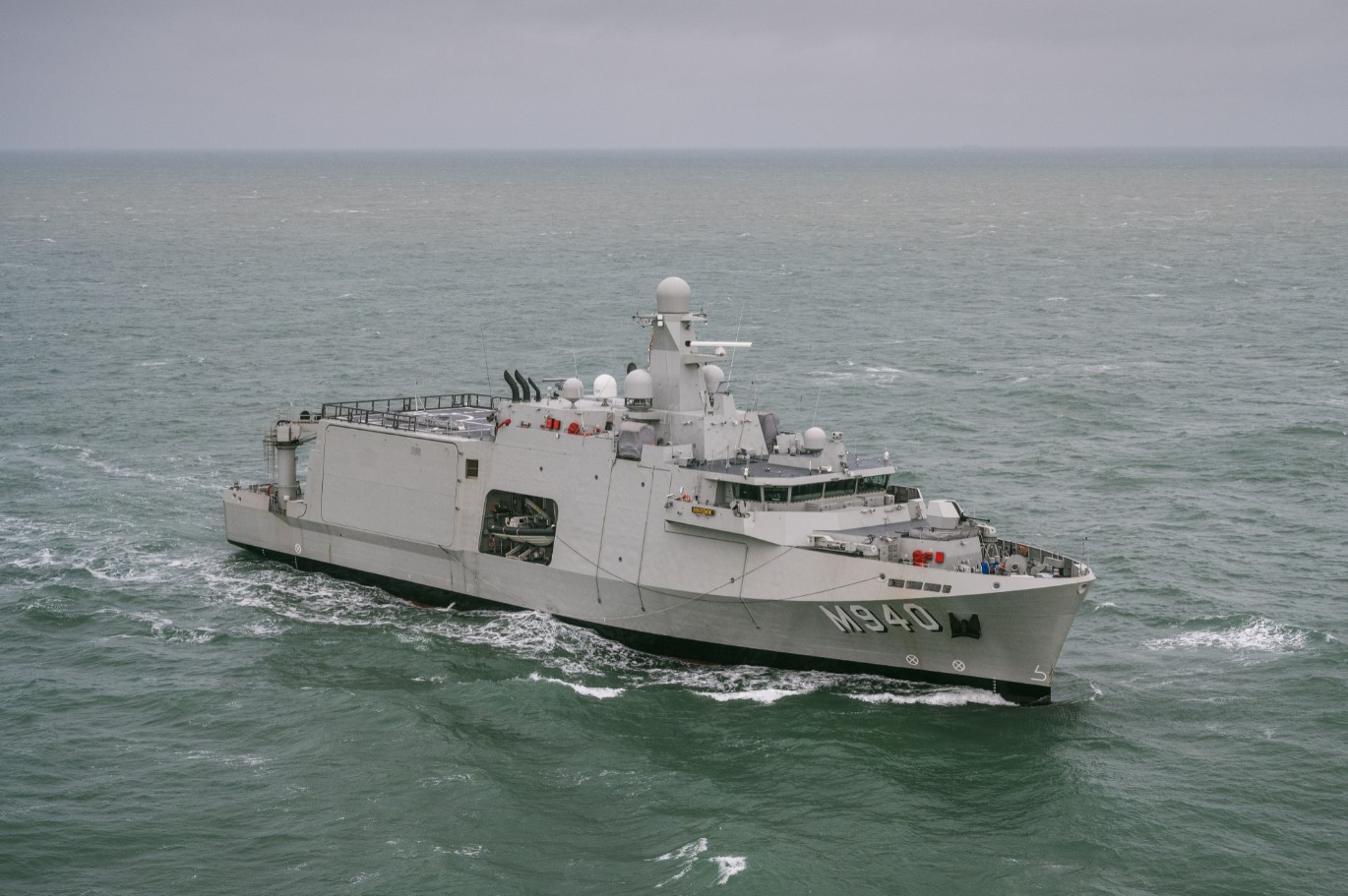
With UMIS, Exail delivers a robotic approach to mine countermeasures, from detection to neutralization, keeping naval vessels and their crews at a safe distance from danger.
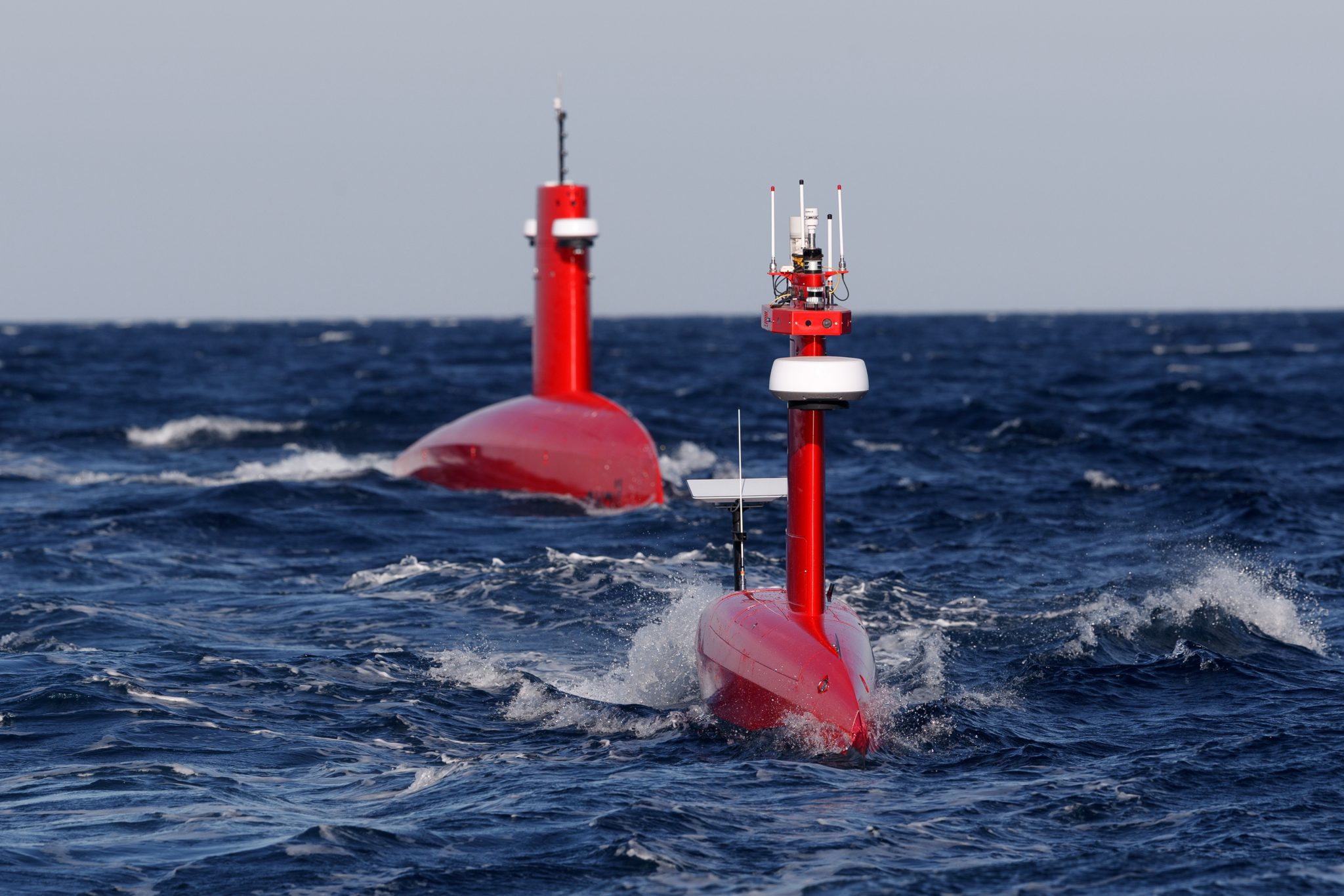
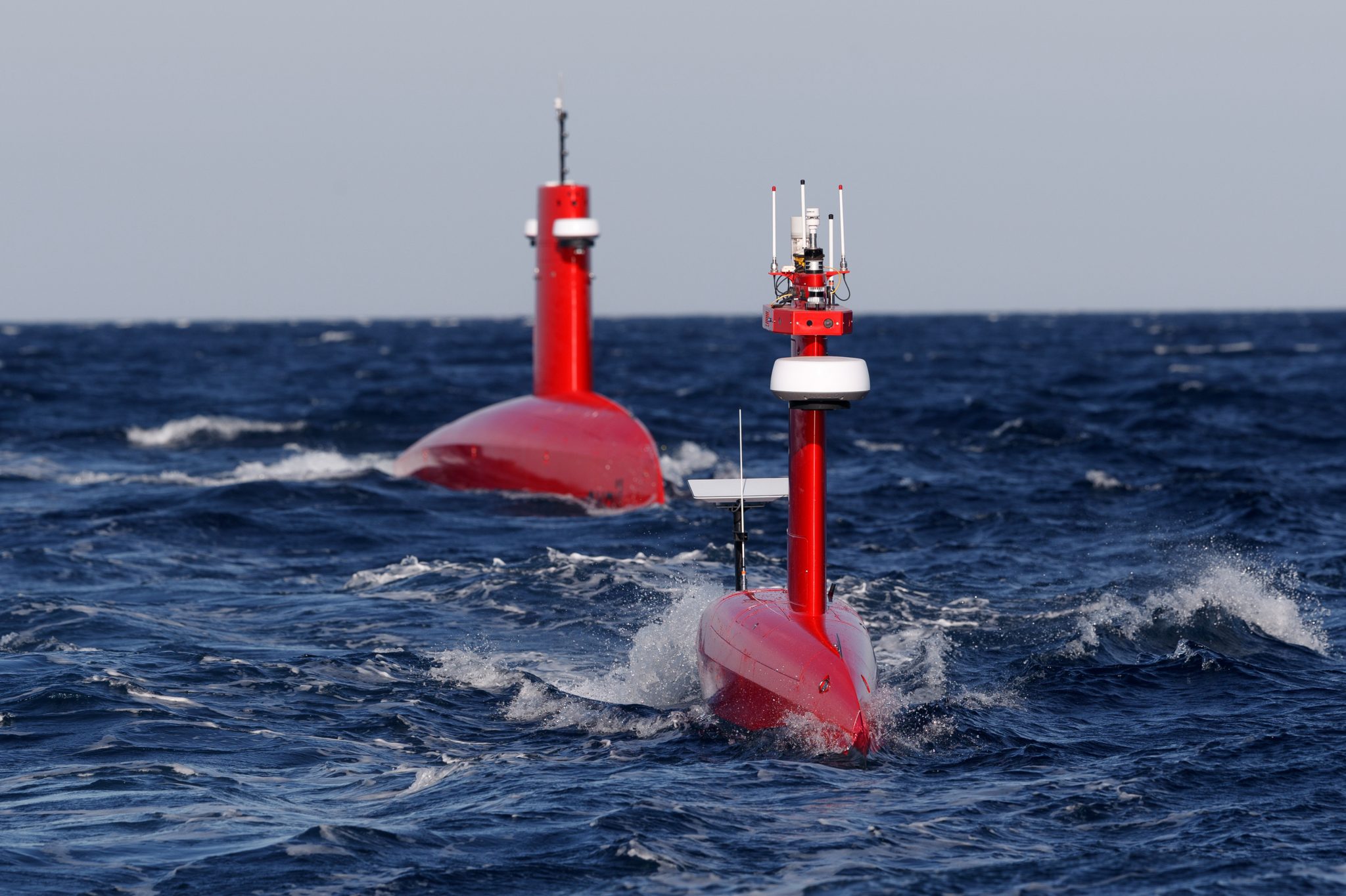
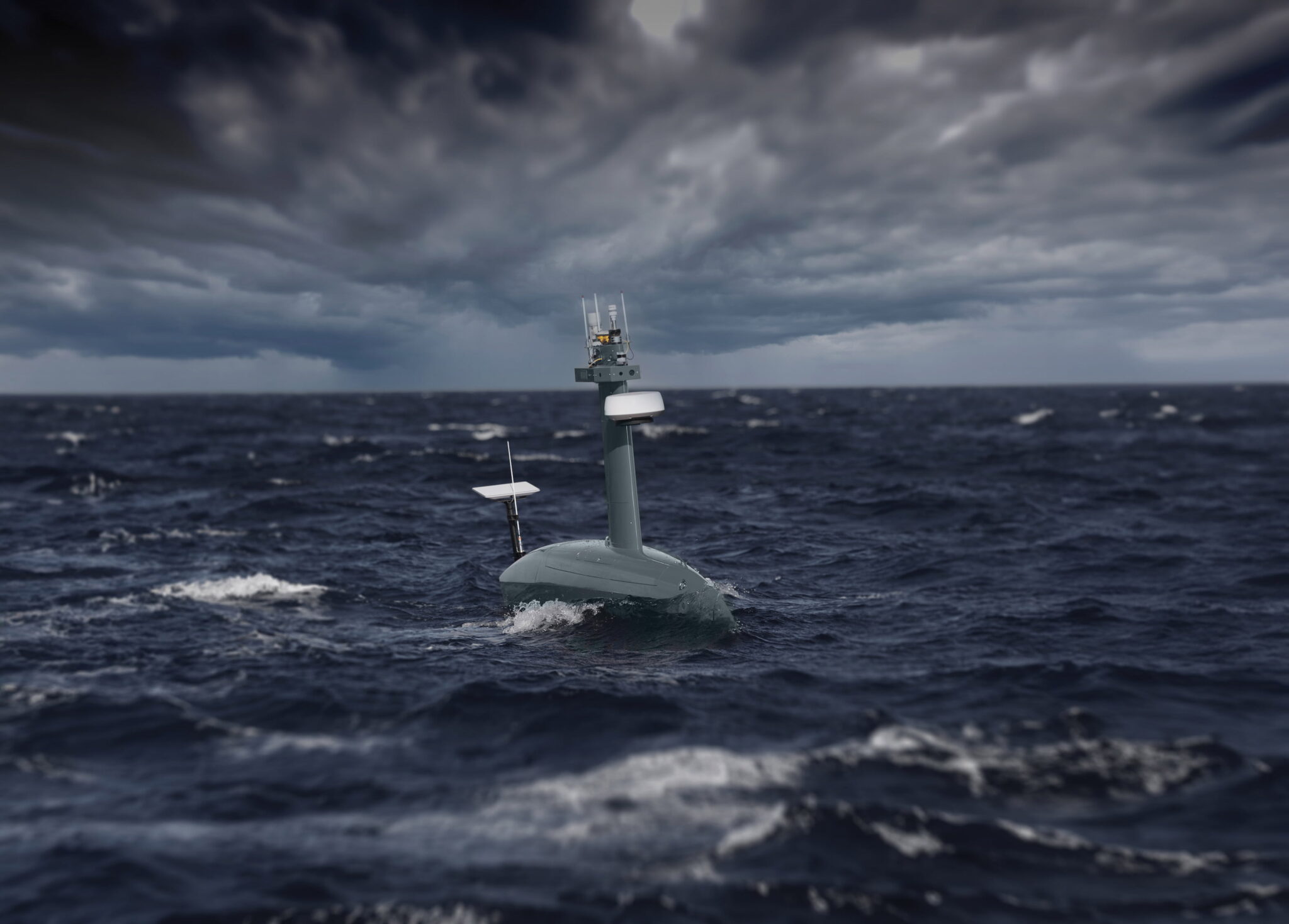
With Neptis, Exail is pioneering a new model of maritime surveillance built on distributed autonomy: long-endurance unmanned surface vehicles, defense-grade sensors, and a mission management system designed to extend surveillance range and duration while improving coordination across naval assets.
 Concepteur, design, ingénierie, réglementation
 Équipements et logiciels embarqués pour l'autonomie
 Équipements LARS, mise en oeuvre et docking
 Intégrateur système d'ensemble capacitaire
 Plateformes et vecteurs physiques
 Services et opérations maritimes
 Systèmes de mission (C2 / C3, etc.)
A pioneer in marine robotics, Exail is transforming civilian and defense maritime operations through proven autonomous technologies. From unmanned surface vehicles (USVs) to underwater robots (AUVs and ROVs), the group has end-to-end expertise in robotic platforms, mission software, and complete system integration. This expertise enables the deployment of autonomous capabilities at scale, from hydrographic surveying and offshore energy operations to mine countermeasures with UMIS and naval surveillance with Neptis systems.
With more than 1.5 million nautical miles traveled, 300,000 operating hours, and over 90 unmanned surface vehicles sold worldwide, Exail demonstrates the maturity and reliability of its autonomous technologies in the most demanding maritime environments.