RTSYS Underwater Technologies

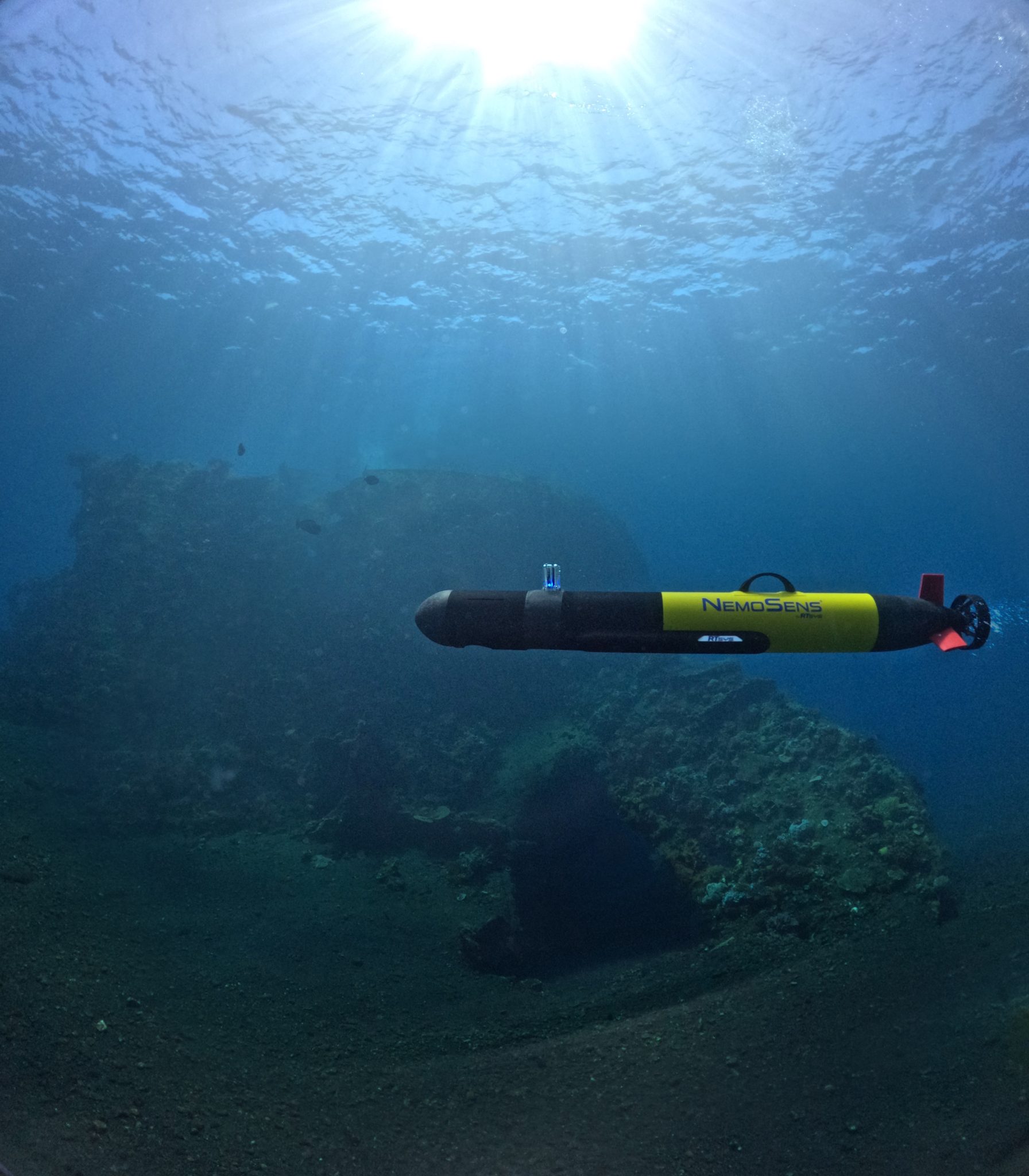
Specializing in underwater acoustics and autonomous vehicles, RTsys Underwater Technologies designs and manufactures innovative solutions for civil, scientific and defence applications. Part of RTsys Group, which has more than 20 years of experience in supplying equipment for maritime and naval industries, RTsys Underwater Technologies is now recognized as a world leade.
The business is divided into four areas of expertise:
- MCM: Manned-Unmanned Teaming ecosystem for Mine Countermeasures
- ASW: Anti-Submarine Warfare recoverable training solutions and sonar calibration
- AUV: compact Autonomous Underwater Vehicles for inspection, offshore survey and oceanology
- PAM: acoustic recorders and acoustic buoys for Passive Acoustic Monitoring
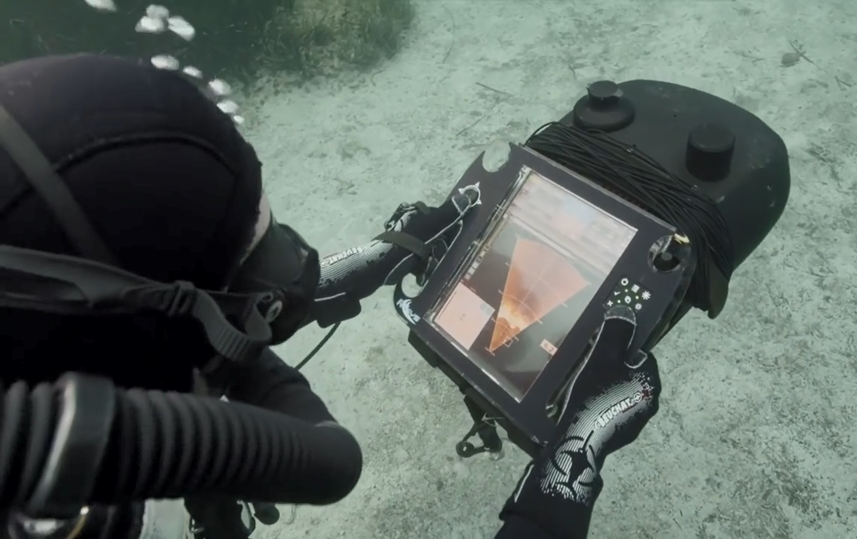
SONADIVE assists divers on reconnaissance or object detection missions.
Divers can communicate with each other and the surface unit in real time via the acoustic modem, sharing contacts and their symbology (MILEC, MILCO…)
A module enables sonar to be repositioned while submerged and data transmitted to the surface.
The integrated navigation system is based on the following sensors: heading, immersion, DVL (Doppler) and GPS for surface initialization: Heading, immersion, DVL (Doppler) and a GPS for surface initialization.
Sonar and navigation data are recorded, enabling mission replay, analysis and data extraction.
Battery autonomy is 6 hours, extendable by interchangeable underwater batteries during the mission.
– Portable sonar for divers
– Deployable floating GPS antenna
– Integrated navigation unit
– High-resolution image camera and illumination
– Integrated georeferenced cartography on a point of interest
– Data logging
– Data extraction and analysis
– Data analysis
– Data extraction and analysis
– Full data logging (navigation and sonar)
– Post-mission bathymetric export
– Configuration and replay on PC or tablet
– 100% compatible with the RTsys ‘ AUVs range.
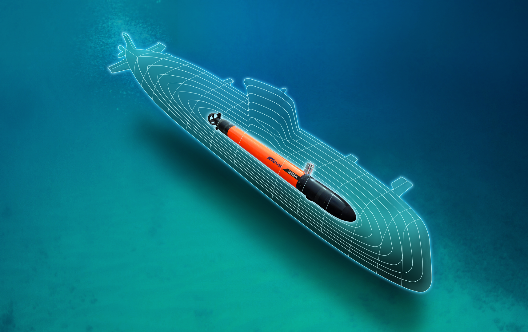
SEMA is a programmable, portable and recoverable autonomous underwater vehicle. It is used as a training target to train operators in ASW and torpedo firing. It can be easily deployed from a frigate or RHIB to train the crews of frigates, helicopters, submarines and patrol aircraft.
SEMA is easy to deploy from a RHIB manually, or from a ship via its launch ramp. SEMA’s navigation route is plotted via GPS points or segments. SEMA uses passive and active acoustics for its repeater and noisemaker functions. Its active repeater function enables 5 sonar response bands and 2 torpedo response bands. Each noise generator can emit 6 narrow-band and 2 wide-band signals.
High speed (up to 15kts) and high acoustic capabilities enable SEMA to simulate submarine behavior and trigger the detection of state-of-the-art sensors (torpedo homing head, LFAS, VDS, HDS).
Aucun média trouvé pour cet adhérent
 Drones maritimes de surface (USV) Unmanned Surface Vehicle
 Drones sous-marins (UUV) - Unmanned underwater vehicles
 Fisheries Control
 Port And Coastal Surveillance
 Search And Rescue
 Vessel Traffic Management
 Hydrographie / Océanographie
 Matériel de navigation
 Recherche et matériel scientifique en mer
.